


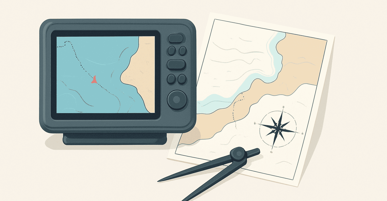
When marine GPS is really needed
A marine GPS it is not just an orientation tool: in many situations it becomes the reference point to immediately read the position of the boat, coordinate the route, and integrate information from other onboard devices. The difference compared to more generic solutions is not only in the use in a marine environment, but especially in the ability to fit into equipment that must remain readable, coherent, and reliable during navigation.
It is really needed when navigation requires continuous reading of the vessel's position, when the crew needs to share information on the bridge, or when you want to avoid relying on devices not designed as primary onboard instrumentation. In practice, it is useful not only on more demanding outings but also in everyday contexts where order, visibility, and integration make the difference.
Those who consult often nautical technical guides know that the choice should not start from the display's aesthetics or a single highlighted function in the datasheet. Instead, it is better to think about three concrete aspects:
- real use scenario, that is where and how it will be used;
- interaction with existing instrumentation, to avoid isolated systems;
- operational simplicity, essential when you need to read and act quickly.
For example, on a boat already equipped with a fishfinder, wind instruments, or autopilot, the marine GPS can play a central role in data sharing. On a boat with basic equipment, it can be chosen as the base of a system to be developed over time. In both cases, the point is not to have “more functions,” but to have the right ones and above all compatible with your onboard setup.
If you are also considering other devices connected to navigation, it can be useful to delve into nautical technical guides dedicated to onboard instrumentation, so as to compare installation logics and understand which components communicate better with each other.
Technical comparison of marine GPS: differences between solutions, measurements, or compatibility
In comparing available systems, the most common mistake is to stop at the surface. A marine GPS should instead be evaluated as part of an ecosystem. The most important differences concern how the device is installed, read, connected, and updated within the bridge.
Fixed installation or integration into an existing bridge
A first distinction concerns the type of installation. Some solutions are designed to fit neatly into an already prepared console, others require a more careful check of available space, panel cutout, and accessibility of rear connections. Before ordering, it is useful to check:
- useful space on the bridge;
- reading orientation;
- presence of other nearby instruments;
- ease of access to cables and connections.
This step is important because a correct choice on paper can become inconvenient in daily use if the display is too close to other instruments or not easily readable from the helm position.
Size and readability: it's not just about the screen
When comparing sizes and formats, the issue is not simply “bigger or smaller.” Readability in the real context matters: operator distance, panel tilt, possible reflections, amount of data shown simultaneously. A very rich interface can be useful, but if it forces you to change screens too often or search for information while maneuvering, the advantage is reduced.
For this reason, in nautical technical guides more useful insists on a simple principle: the best configuration is the one that reduces operational steps. Before choosing, check the menu logic, display type, and the possibility to customize screens in the product sheet, if available.
Nautical GPS compatibility: the decisive point before purchase
The theme of nautical gps compatibility is often what distinguishes an effective purchase from one that generates adaptations, additional accessories, or functional compromises. It is not enough to know that a device “connects”: you need to understand with what, how and for what purpose.
Before ordering, it is advisable to check if the nautical GPS must communicate with:
- multifunction displays already present;
- depth transducers or instruments;
- autopilot;
- onboard sensors;
- external antennas or dedicated modules;
- data networks already installed on the boat.
Compatibility must be understood in a practical, not theoretical, sense. Two devices may seem close in intended use but may not be the best choice if they require messy adaptations or do not smoothly share useful navigation information. In case of doubt, the safest approach is always the same: check the product sheet and compare the required connections with the equipment already on board.
If you are building a complete configuration, it can be useful to also read an overview of navigation instruments for the boat and a guide on integrated nautical electronics, so as to evaluate the marine GPS not as an isolated element but as part of a functional chain.
Mistakes to avoid when choosing or installing the nautical GPS
Many problems do not arise from the product itself but from an incomplete assessment of the installation context. In a competitor-driven purchase, where many similar solutions are compared, it is easy to be guided by a secondary feature and overlook aspects that really affect daily use.
Choosing without mapping the instruments already on board
The first mistake is buying without having a clear picture of the devices present. Before comparing models and configurations, it is advisable to note:
- which instruments are already installed;
- which data must be shared;
- which connections are actually available;
- which components you want to add in the future.
This simple check avoids purchases disconnected from the rest of the system and helps to understand whether the marine GPS should be a central element or a complementary support.
Neglecting position and usability on the helm
Another common mistake concerns installation. Even a good device can be impractical if installed in a hard-to-read area, too exposed, or inconvenient to reach while steering. The helm should be thought of as an operational environment: the marine GPS must be visible without forcing you to change posture or divert attention from navigation for too long.
For this reason, it is useful to simulate use before installation, checking the viewing angle, the presence of obstructions, and how easily the controls can be reached. If the product includes specific accessories or mounts, check the product sheet for compatibility with the desired type of installation.
Confusing electrical compatibility with functional compatibility
Not every possible connection equals a truly useful integration. This is one of the most underestimated points when talking about nautical gps compatibility. A device can be connected but may not offer the data flow or usage logic expected during navigation.
The correct question is not only “does it connect?”, but also:
- are the data shared in the way I need?
- does the display remain clear?
- is the control management consistent with other instruments?
- does the system remain tidy and easily manageable?
This approach helps avoid hybrid systems, full of compromises and unintuitive.
Purchasing based only on comparison with competing products
Comparing similar alternatives is useful but must be interpreted. In a competitor-driven analysis, there is a tendency to compare screens, formats, accessories, and interfaces. However, the correct choice always depends on the usage context. A highly appreciated marine GPS overall might not be the most suitable for your helm, your data network, or your navigation habits.
For this reason, it is advisable to use comparisons as a guide, not as the sole criterion. The best nautical technical guides help precisely with this: they turn the comparison between solutions into a concrete check of compatibility, installation, and usage consistency.
Products and categories to consider together with the marine GPS
When evaluating a marine GPS, it rarely makes sense to stop at the single device. In many cases, it is more useful to think in terms of complementary categories, in order to build an orderly and truly functional configuration. This approach reduces the risk of fragmented purchases and helps plan any future integrations.
Among the categories often worth considering together are:
- coordinated navigation instruments;
- displays and interfaces for the helm;
- components for connection to the onboard network;
- mounting accessories;
- sensors and complementary instruments, if provided by the system.
The advantage of this method is simple: instead of asking which marine GPS is “best overall,” you ask which solution works best with the rest of the boat. This is a substantial difference, especially for those who want to avoid later modifications or messy installations.
Another aspect not to be underestimated is the continuity between brands, accessories, and system logic. In some cases, it may be more convenient to stay within a family of compatible products; in others, the best choice may be a targeted integration with already existing devices. Here too, the correct criterion is not abstract preference but technical coherence. If you have doubts, consult the sections dedicated to accessories for nautical installation and components for onboard electronics to understand which elements really affect the final result.
When the catalog is extensive, it can be useful to filter the search starting from use, available space, and declared compatibility, rather than just format. This way, the selection becomes faster and above all closer to the real onboard needs.
Recommended products

 10" Wound Wire Cartridge 20 micron – code: 10MP20 – Idromar
 Stainless steel clamps Norma 12–22 mm – code: FAI0012022 – Toscogomma
 Brush with spring - code: SGM45 - Gianneschi Pumps and Blowers



How to choose the right marine GPS before ordering
Before completing the purchase, it is advisable to do one last reasoned check. A good method consists of verifying these points in sequence:
- main use: coastal navigation, helm support, integration with other instruments;
- available spaceposition, size, accessibility of connections;
- compatibilityonboard network, sensors, display, any external modules;
- user experience: readability, menus, operational ease;
- future developments: possibility to expand the system without starting from scratch.
This checklist is particularly useful when comparing multiple alternatives with apparently similar characteristics. Instead of chasing theoretical comparison, it helps bring the choice to a concrete level: that of real installation and daily use.
If you want to orient yourself among solutions compatible with your onboard configuration, explore the category dedicated to nautical instrumentation or the brand you are already using: it is the simplest way to find a marine GPS consistent with your system and reduce doubts before ordering.
FAQ
How to understand if a marine GPS is compatible with the equipment already on board?
The correct way is to compare the connections required by the device with the network and tools already installed on the boat. Check the product sheet to see which devices can be connected, what data is shared, and if dedicated accessories or modules are needed.
Is it better to choose the marine GPS based on the display size?
Size is important, but it is not the only criterion. What matters most is readability on the dashboard, viewing distance, interface clarity, and ease of access to information while navigating.
What is the most common mistake before ordering a marine GPS?
One of the most common mistakes is buying without checking the installation context. Available space, dashboard position, connections, and integration with other instruments must be checked before making a choice.
Can the marine GPS be chosen as the main element of the dashboard?
Yes, in many cases it can become the central reference for navigation, especially if the system is essential or being updated. However, the choice depends on how it must interact with other existing or planned tools.
Why is there so much emphasis on compatibility in nautical technical guides?
Because compatibility is not only about the physical connection, but also about how data is managed and displayed on board. A consistent system is easier to use, neater to install, and more effective in daily navigation.


